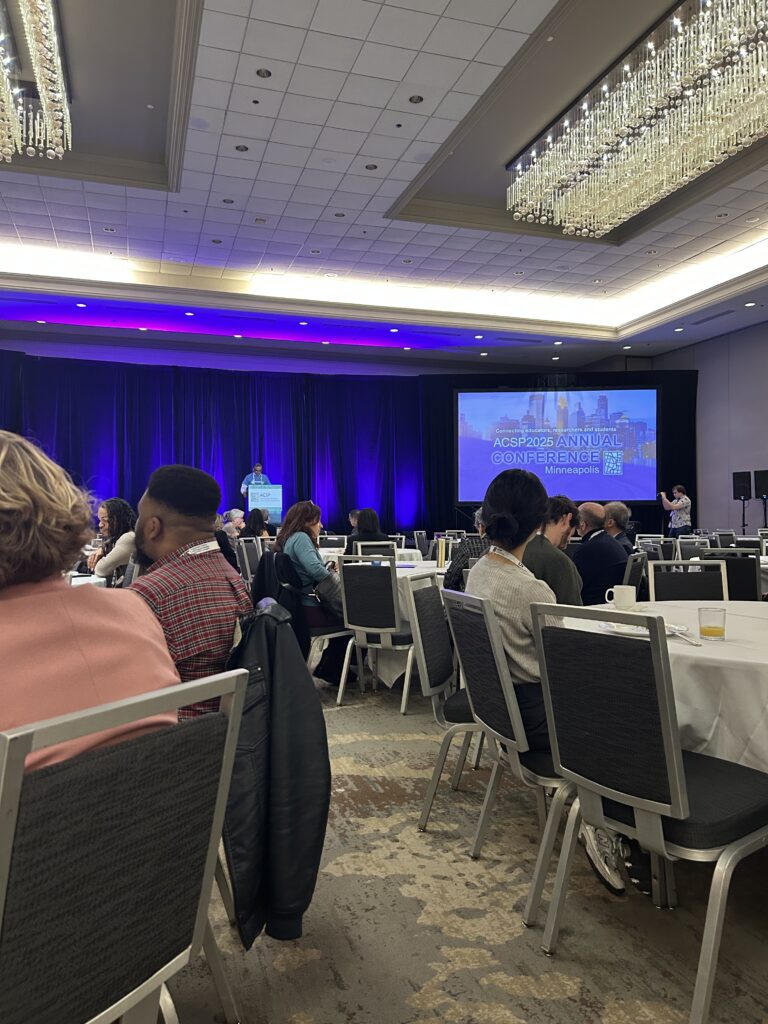
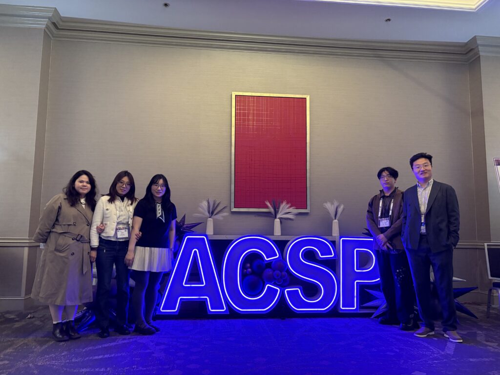
Thrilled to participate in the 65th Annual Conference of the Association of Collegiate Schools of Planning (ACSP2025), held from October 23 to 25, 2025, in Minneapolis, Minnesota. As one of the premier global platforms for academic exchange and professional dialogue in urban planning, the conference brought together scholars, practitioners, and students to explore planning theory, applied innovation, and cross-sector collaboration. Led by Mingze Chen, team members Xiamengwei Zhang, Yidong Yang, and Xiao Wang joined academic sessions, case study discussions, and professional networking events. They engaged in meaningful exchanges on research application and interdisciplinary methods, gaining valuable perspectives to support future research and project development.
Nature AI Lab
2025-10-26
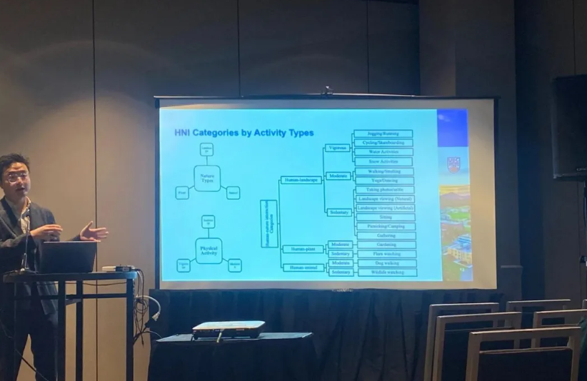
🥂Our team leader Mingze Chen presented a computer vision–based framework to identify human–nature interactions (HNI) across 30+ global cities using crowdsourced social media imagery. By combining deep learning models (YOLO and Transformer) with a manually labeled dataset of 15 HNI types, the study revealed how green space structure, cultural norms, and infrastructure shape urban residents’ daily engagement with nature. The project demonstrated the feasibility of using AI and social data to quantify HNI at scale and introduced an open-access platform to support inclusive, data-driven green space planning.
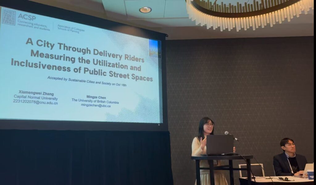
Team member Xiamengwei Zhang and Mingze Chen introduced a data-driven framework to assess the utilization and inclusiveness of public street spaces (PSS) using delivery riders’ crowdsourced street-view video and a custom vision-language model. Based on over 11,000 hours of GPS-tagged footage from Beijing, they developed the “Egocity” dataset with 115,000 labeled images and trained the LLaVA-PI model to identify pedestrian age groups and behaviors with high accuracy. The study revealed significant mismatches between high-activity areas and demographic inclusiveness—particularly for children and older adults—and demonstrated that traditional metrics like footfall fail to capture spatial equity. The research proposes a dual-indicator framework (utilization + inclusiveness) and calls for equity-focused street design that ensures access for all !
Team member Yidong Yang and Mingze Chen presented a spatial analysis of how greenery distribution, visibility, and accessibility affect crime rates in Chicago. Using data from Google Street View imagery, satellite NDVI, and crime records (2018–2023), the study quantified street- and block-level greenery using three indicators—NDVI, GVI, and a newly developed Green Walkability Index (GWI). By applying negative binomial regression and geographically weighted regression (GWR), the research found that all three greenery dimensions are negatively associated with violent and property crime. These effects are stronger in socioeconomically disadvantaged neighborhoods, emphasizing the interaction between social context and green space effectiveness. The study highlights that improving greenery visibility and accessibility is more effective in reducing crime than merely increasing green coverage and provides evidence-based strategies for equitable, safety-oriented greening.
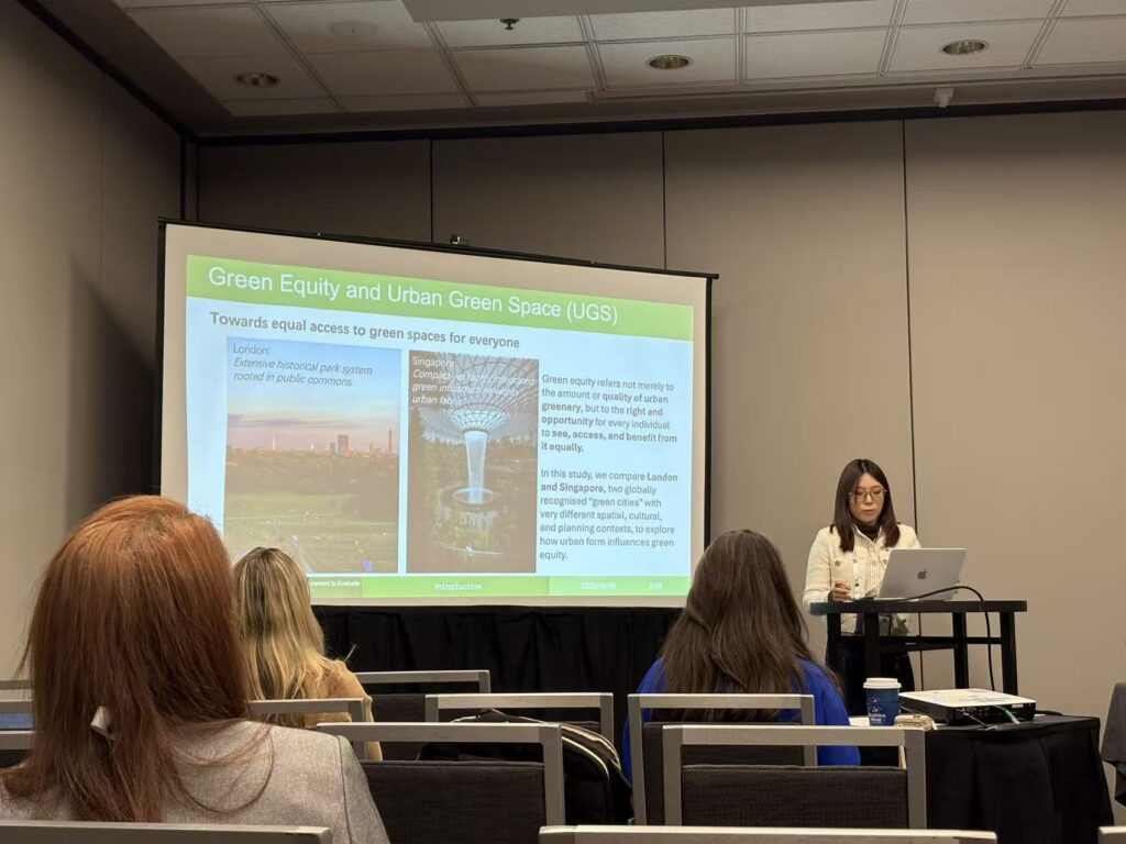
Team member Xiao Wang, Mingze Chen, and Xinyi Wang introduced the “Green Equity Triangle” framework, which integrates three dimensions of urban greenery—visibility, distribution, and accessibility—to evaluate spatial justice in urban green infrastructure. Comparing London and Singapore, the study revealed that high green visibility does not necessarily align with accessibility, especially in dense urban cores. In London, low-income and minority communities face limited access to green spaces, while in Singapore, public housing areas benefit from integrated green planning, though private neighborhoods show gaps. The analysis further demonstrates how governance models shape green equity outcomes—through state-led ecological corridor planning in Singapore and localized urban renewal in London. The framework and its improved 2SFCA-based quantification methods offer practical tools for assessing and improving green equity under different urban policy regimes.